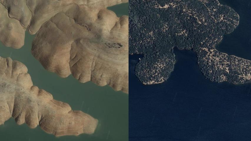
Google Earth is getting an amazing update that allows you to see how the world looked decades ago.
You can explore historical satellite images of major cities like London and Paris dating back to the 1930s.
This means you can compare how places have changed over time, like seeing how a city's skyline has grown or how a neighborhood has been developed.
The new feature is available both on the web and mobile versions of Google Earth, so you can explore the past wherever you are.

