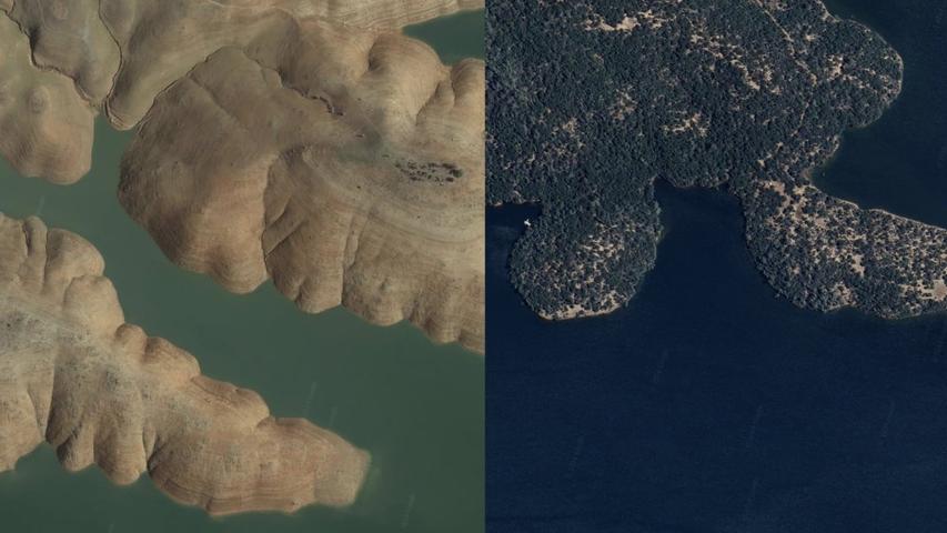
Google Earth is getting a new feature that lets you see how the world looked up to 80 years ago.
You'll be able to explore historical satellite images of cities like London, Berlin, Warsaw, and Paris from the 1930s.
The new feature doubles the time frame for historical imagery, allowing you to compare old photos with recent ones.
This exciting update will be available on both the web and mobile versions of Google Earth in the coming weeks.

